Update: The meetings for Oct. 8 and 9 have been postponed because of the federal government shutdown and will be rescheduled.
San Rafael, CA – The Federal Emergency Management Agency (FEMA) is attending a series of informational meetings in Marin County to inform citizens in coastal communities about the FEMA led San Francisco Bay Coastal Study. Marin residents who live within a Special Flood Hazard Area along the bay shoreline might be affected by the study.
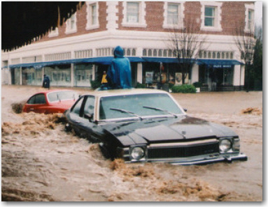
Through its Flood Hazard Mapping Program, FEMA identifies flood hazards, assesses flood risks, and partners with states and communities to provide accurate flood hazard and risk data to guide them to mitigation actions. Flood Hazard Mapping is an important part of the National Flood Insurance Program, as it is the basis of the NFIP regulations and flood insurance requirements.
Find out what's happening in Novatowith free, real-time updates from Patch.
* Tuesday, Oct. 8, 6:30-8 p.m.
Kreps Conference Room, Redwood High School, 395 Doherty Dr., Larkspur
Find out what's happening in Novatowith free, real-time updates from Patch.
* Wednesday, Oct. 9, 6:30-8 p.m.
Sausalito City Council Chambers, 420 Litho St., Sausalito
For more information about FEMA’s coastal study and County informational meetings, check http://www.marincounty.org/depts/pw/divisions/~/media/Files/Departments/PW/land%20use/FEMA%20Informational%20Meetings%20913.pdf


